* Drip irrigated
* Flood irrigated
* Rainfed Slopes
* Mountain range
Differences among the regions for each model:
* MesoNH
* Moloch
* Unified Model
* WRF
COMPARING THE TERMS OF THE SEB FOR EACH REGION AND MODEL
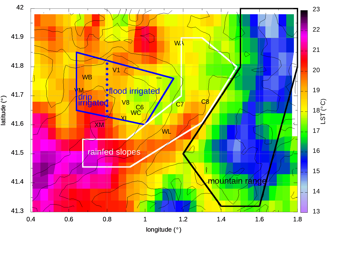
The terms of the modelled Surface Energy Balance are averaged over four regions:
drip irrigated (WEST side, blue polygon),
flood irrigated (EAST side, blue polygon),
rainfed slopes (white polygon) and
mountain range (black polygon).
* Drip irrigated
* Flood irrigated
* Rainfed Slopes
* Mountain range
Differences among the regions for each model:
* MesoNH
* Moloch
* Unified Model
* WRF